 IMAS Metadata Catalogue
Department of Environment and Natural Resources (DENR), Northern Territory Government
Type of resources
Topics
Keywords
Contact for the resource
Provided by
Years
-
This is a collection of polygons outlining signficant seagrass meadows around Arnhem Land, Kakadu and Gulf of Carpentaria coastal waters for the Northern Australia Marine Biodiversity Survey (NAMBS) project between 2003 and 2005. Data was collected from imagery and ground truthed by observers from helicopter and insitu sample grabs.
-
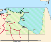
This polygon spatial dataset describes the mangrove communities for Darwin Harbour and its environs and was surveyed at a mapping scale of 1:25 000. The associated report notes an area of approximately 20,400 hectares of mangroves in Darwin Harbour and describes ten main mangrove associations or communities. The data provides a basis for identifying the extent and distribution of mangrove communities for Darwin Harbour and its environs.
-
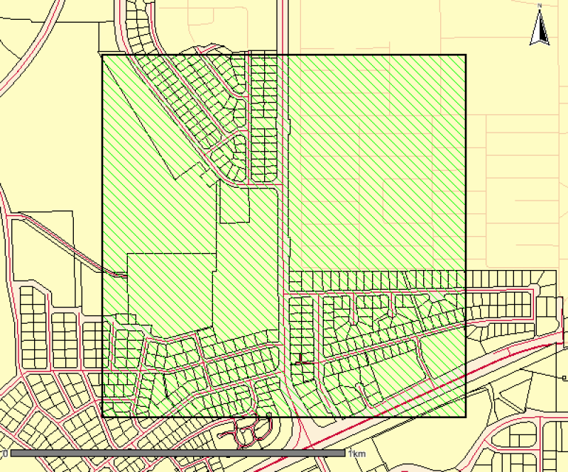
This is a high resolution survey (1:5,000 scale dataset) describing mapped vegetation communities for the Ludmilla Creek catchment area (within the City of Darwin, Northern Territory). (Vegetation Unit - A reasonably homogeneous part of the land surface, distinct from surrounding terrain with constant properties in landform and vegetation) This vegetation survey was undertaken in 1996. This dataset represents the vegetation on the ground at the time of the survey and reflects the data and methods used to create the mapped polygons. The dataset has been revised in 2015 to include community descriptions but has not been updated to reflect the vegetation on the ground. The Darwin Remnant Vegetation Survey is considered a more up-to-date representation of vegetation for this area.
-
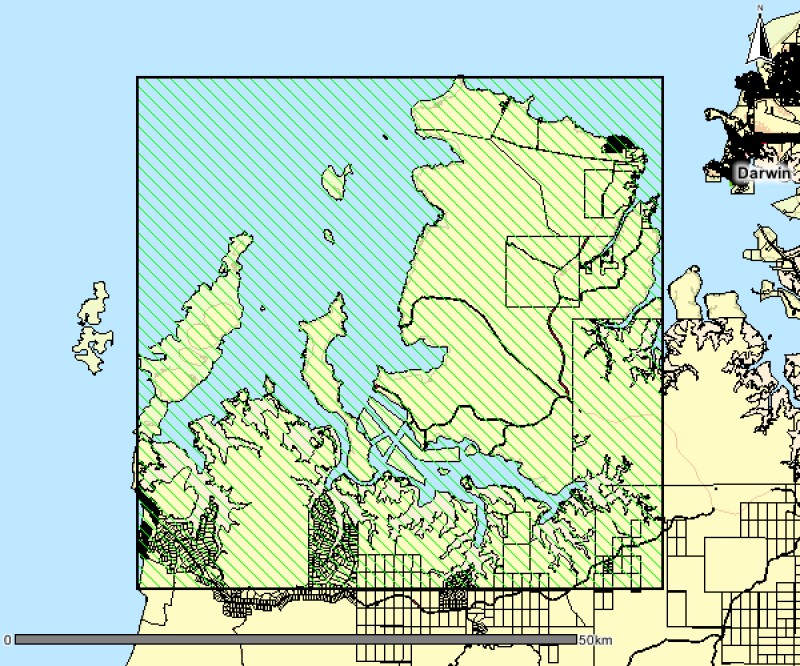
This polygon spatial dataset describes the mangrove communities for Bynoe Harbour and its environs. The original field survey was undertaken in 1998 at a mapping scale of 1:25,000. The associated report notes an area of approximately 24,000 hectares of mangroves in Bynoe Harbour and describes ten main mangrove associations or communities. The data provides a basis for identifying the extent and distribution of mangrove communities for Bynoe Harbour and its environs. Mangrove mapping was updated over this area in a 2016 survey. See metadata record for Mangrove Community Mapping - Charles Point to Gunn Point. www.ntlis.nt.gov.au/metadata/export_data?type=html&metadata_id=87F656131848A609E050CD9B214417E1
-
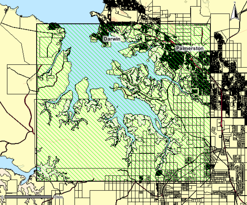
This data was collected to improve our knowledge and understanding of the marine environment in the upper reaches of East and Middle Arms (Darwin Harbour), to assist planning and sustainable development for the new township. Data provide polygon data that map the benthic habitats (12 physical and biological categories) in the upper reaches of the harbour using remote-sensed and survey data. This dataset is being continually updated and is current as of 03/03/2016.